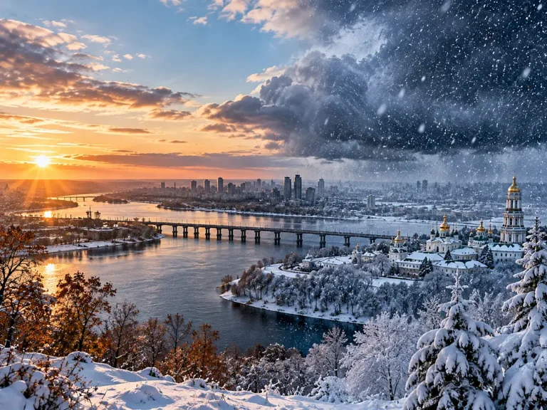

A white New Year can no longer be treated as a given in Ukraine. Snow in the Carpathians or the north is quite plausible, but the chance that most of the country is snow-covered on the morning of January 1, 2027 is currently below 50%.
Forecast details
Weather on a specific day cannot be forecast three months ahead with anything like the skill of a short-range forecast. Ukraine’s Hydrometeorological Center notes that detailed forecasts belong to shorter lead times, while seasonal outlooks describe broad tendencies. The question “Will there be snow on New Year’s Day?” therefore needs an operational definition. Ukrhydrometcenter
For this forecast, a “snowy New Year in Ukraine” means that at least 50% of Ukraine’s land area has a snow depth of at least 1 cm on the morning of January 1, 2027.
ORBK.NET’s current estimate: about 40%. Working range: 30–50%. Confidence: 45/100.
The practical answer is more nuanced. Snow will very likely exist somewhere in Ukraine, especially in the Carpathians and probably across part of the north. What is less likely is a continuous winter landscape across most of the country.
Why a mild winter does not settle the question
Our broader winter 2026/27 forecast leans warmer than the 1991–2020 climate normal, and the September Copernicus seasonal outlook also favors a mild temperature background across much of Europe. That reduces the odds of persistent snow cover, but it does not tell us whether snow will be on the ground on one particular morning. Copernicus
Snow requires both moisture and sufficiently low temperatures. A mild, wet winter can bring frequent precipitation, but at +2 to +5 °C much of it falls as rain. If temperatures drop below freezing for a few days, the same storm track can instead deliver heavy snow.
A December that is warm on average could still end with a cold outbreak and snowfall on December 27–31, leaving a large part of Ukraine white for New Year. The reverse is also possible: a cold start to December may build snow cover that disappears in a major holiday thaw.
For January 1 itself, the final 5–10 days of December will matter much more than the monthly average temperature.
The historical background is becoming less favorable
Research on Ukrainian snow cover for 1991–2020 shows an overall decline in the number of snow-cover days, with December particularly relevant to the New Year period. A later and less stable onset of winter increases the chance that January 1 falls during a thaw or a snow-free interval. snow-cover study
The regional contrast remains large. High elevations in the Carpathians retain a much more reliable snow regime, while southern and some central areas increasingly experience cycles of snow, rain, thaw and refreezing.
Where is New Year snow most likely?
These are not city-level forecasts. They are working regional ranges that combine recent snow climatology with the current mild seasonal signal.
| Region | Estimated chance of snow cover on January 1 |
|---|---|
| High Carpathians | 85–95% |
| Northern Ukraine | 55–70% |
| Northeast and parts of the east | 50–65% |
| Western lowlands | 45–60% |
| Central Ukraine | 40–55% |
| Southern regions | 15–30% |
| Black Sea coast | 10–25% |
Those ranges should not be read as a September forecast for Kyiv, Kharkiv or Odesa. They simply show where the background climate currently favors snow cover most strongly.
The final ten days of December may decide everything
The most important window for this forecast is roughly December 22, 2026 through January 1, 2027.
If western or southwesterly flow dominates Europe, Ukraine will receive relatively mild air. Even with frequent precipitation, central and southern regions would be more likely to see rain or wet snow that melts quickly.
A different outcome becomes possible if circulation blocks and colder air arrives from the north or northeast. If a cyclone crosses Ukraine at the same time, several centimeters of fresh snow could create a white New Year even after a very warm December.
That is why confidence is only 45/100. We can estimate the seasonal background now, but September models cannot reliably predict the atmospheric pattern of the final week of the year.
Three main scenarios
| Scenario | Probability | What January 1 could look like |
|---|---|---|
| Most of Ukraine is snow-covered | 40% | At least 1 cm of snow covers roughly half or more of the country. |
| Snow mainly in the north, east and Carpathians | 45% | Much of central and southern Ukraine has no persistent cover or only patchy snow. |
| Mostly snow-free lowland Ukraine | 15% | Reliable snow remains concentrated in the high Carpathians and locally in the north. |
The second scenario currently carries the most weight. It fits both the continuing possibility of normal winter snowfall and the long-term weakening of stable December snow cover.
When can the forecast change sharply?
November should give a better view of December’s temperature background. The key update belongs around December 10–15, when sub-seasonal circulation forecasts become more informative.
Around December 20–24, medium-range ensembles should begin to resolve possible storm tracks and cold outbreaks affecting the final days of the year. Five to seven days before New Year, the question becomes a conventional weather forecast that can be issued separately for major cities.
What would increase the odds of a white New Year?
The 40% estimate would rise if December forecasts turn colder for Eastern Europe and a stable northerly or northeasterly flow develops late in the month. The strongest signal would be a combination of freezing temperatures and a cyclone roughly 3–7 days before January 1.
If snow is already on the ground across much of Ukraine and no major thaw is forecast, the probability could quickly rise to 70–80% or more. Conversely, a strong warm anomaly over Central and Eastern Europe, active Atlantic inflow and little existing snow could push the estimate below 20%.
So, will Ukraine have snow on New Year 2027?
As of September 24, 2026, snow somewhere in Ukraine is highly likely — above all in the Carpathians and probably in parts of the north. But our formal question is stricter: will at least half of Ukraine be snow-covered on the morning of January 1? The current estimate is about 40%.
The base case is a white New Year in the mountains and parts of northern Ukraine, much greater uncertainty in the center and west, and a high chance of a green or wet New Year in the south. Unlike the full-winter forecast, this probability may move dramatically in December.
Forecast card
| Forecast ID | WTH-UA-NY-SNOW-2027-001 |
|---|---|
| Question | Will at least 50% of Ukraine’s land area have snow depth of at least 1 cm on the morning of January 1, 2027? |
| Snapshot date | September 24, 2026 |
| YES criterion | ERA5-Land shows snow depth ≥1 cm over at least half of Ukraine at 06:00 UTC on January 1, 2027. |
| NO criterion | Less than 50% of Ukraine meets that snow-depth threshold. |
| Probability | about 40% |
| Working range | 30–50% |
| Confidence | 45/100 — low |
| VOID | No VOID condition |
| Resolution source | Copernicus ERA5-Land. ERA5-Land |
| Key update | December 10–15, 2026; final pre-New-Year update around December 24–27. |
This forecast was prepared using the ORACLE Foresight Engine methodology. The initial 40% estimate is an immutable snapshot and should not be overwritten by later forecasts.
Forecast disclaimer. This forecast does not state that the event will happen. It represents a current probability assessment based on information available at the time of publication and may change as new information appears.